An invisible wave of warm water stretching hundreds of miles is approaching San Diego County and could push sea levels higher along Del Mar's low-lying coast for months.
Dillon Amaya, an assistant professor of marine, earth and atmospheric sciences at North Carolina State University, told Patch on Thursday, Oct. 1, that the coastally trapped Kelvin wave was somewhere between Cabo San Lucas and San Diego. He estimated it would reach San Diego in roughly five to seven days, putting its likely arrival around Oct. 6 to Oct. 8.
The wave has lost some energy on its northward journey. Amaya said he expects sea-level increases toward the lower end of the 6-to-12-inch range scientists initially projected.
That may sound modest. It is not.
Amaya told Patch the increase carries real consequences. Every 2 to 4 inches of baseline sea-level rise "essentially doubles the flood risk for low-lying regions of California, when combined with high tides, large swells, and storms," he said.
What a Kelvin wave does
A Kelvin wave is not a breaking wave or a tsunami. It raises the ocean's background level across a broad stretch of coastline, and ordinary tides, swells and storm surges then ride on top of that elevated starting point. The wave extends roughly 12 to 20 miles offshore and about 650 feet deep, according to PBS NewsHour, citing the Associated Press.
Amaya said residents may not notice the wave's arrival at all unless a high tide, large swell or storm hits at the same time. Hurricane Polo, which generated peak seas of about 39 feet off Baja California, has complicated scientists' ability to pinpoint the wave's exact position.
Flood-prone areas in Del Mar
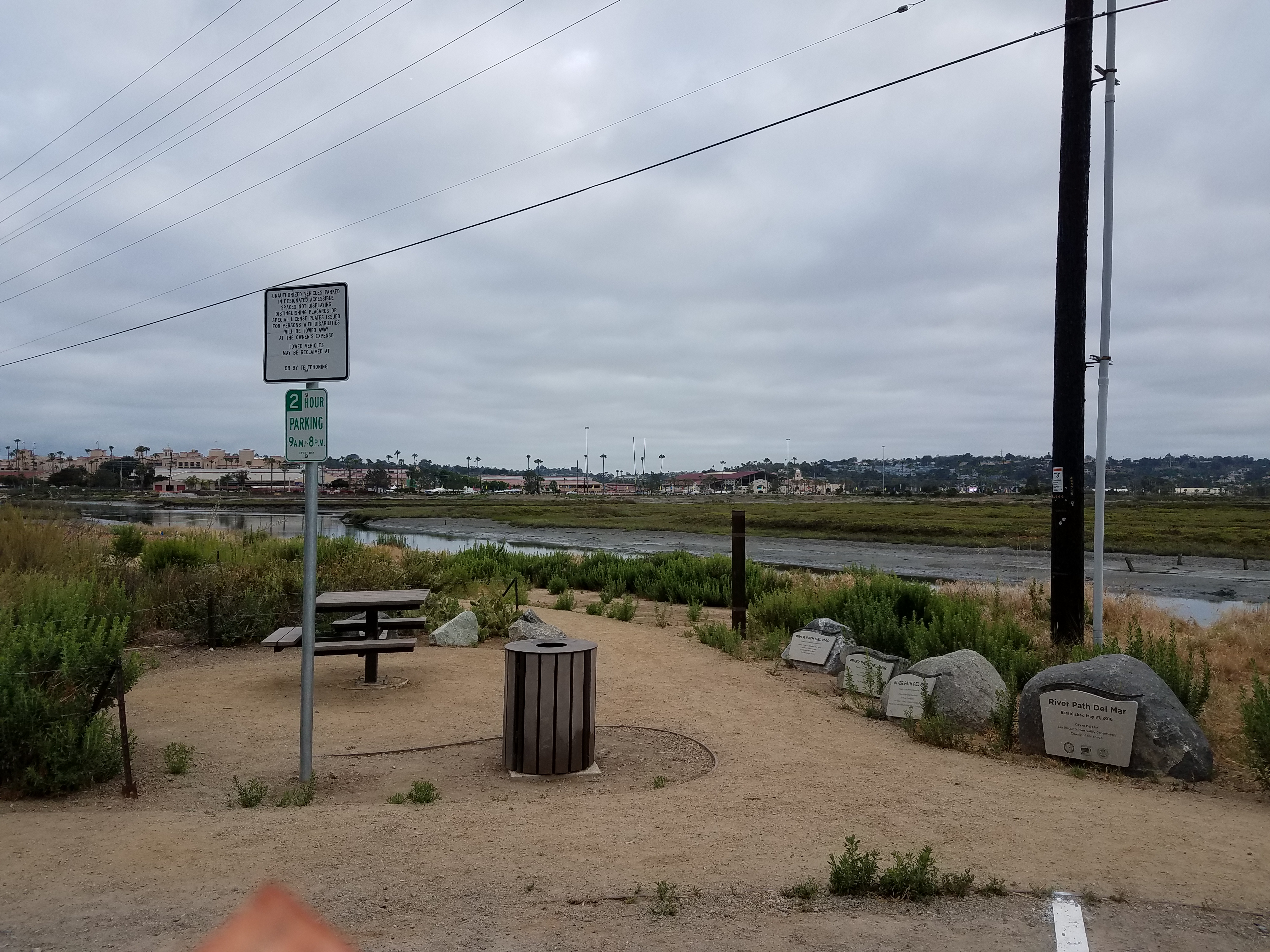
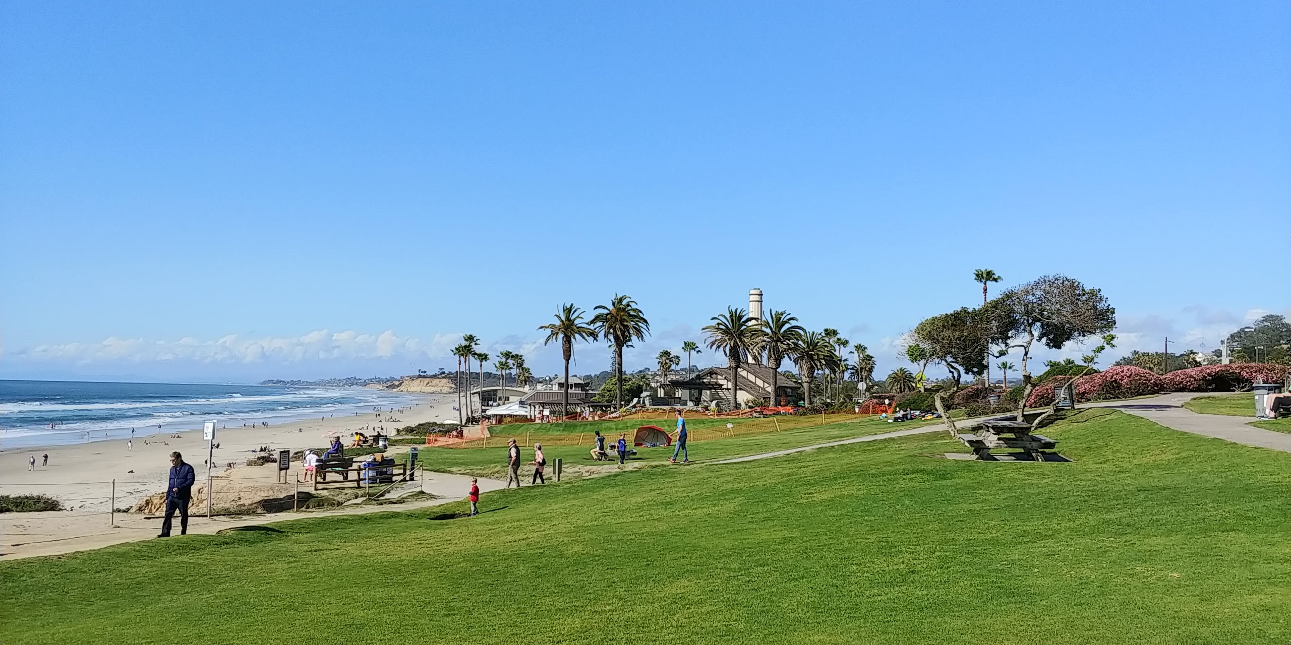
Del Mar's coastal bluffs, canyon slopes and low-lying drainage areas along Camino del Mar make the city especially exposed, according to a North Coast Current report published Sept. 14. The city plans to place sandbags at about 30 flood-prone locations, including the 1800 block of Ocean Front and where 27th and 29th streets meet Camino del Mar.
Crews can install seawall barrier boards, push up sand ahead of storms and barricade stairways and street ends at 26th, 27th and 29th streets. Storm-drain pumps at 20th, 27th and 29th streets are being checked.
The Del Mar City Council adopted a local emergency declaration on Tuesday, Sept. 22, and asked the Army Corps of Engineers to amend permits to allow removal of up to 50,000 cubic yards of sand per dredge event from the San Dieguito Lagoon. The existing limit is 16,000 cubic yards. Gov. Gavin Newsom's statewide emergency proclamation, issued Sept. 21, could speed that permitting, according to a city alert.
City staff is scheduled to present an updated El Niño preparation report to the City Council on Tuesday, Oct. 6.
Del Mar Assistant City Manager Clem Brown told the council at its Sept. 8 session, as reported by the San Diego Union-Tribune, that the city is better positioned than in past El Niño cycles because more private property is now protected by sea walls and the restored San Dieguito Lagoon helps manage storm surge and tidal flow.
How long it lasts
This is not a one-time event. During an El Niño year, as many as six Kelvin waves can occur, and elevated seas can persist for three to six months, according to KQED. A first wave already passed up the coast in May and June. Experts predict additional waves will continue arriving through February, according to the Associated Press.
Sea levels off California have already risen about 8 inches in some areas due to climate change-driven thermal expansion, according to the Union of Concerned Scientists. Tides are expected to peak around Thanksgiving and Christmas on top of the Kelvin wave's elevation.
Residents with proof of Del Mar residency can pick up to 10 self-fill sandbags at the Public Works yard at 2240 Jimmy Durante Blvd.